Department of Computer Science
Cooperative use of UGV and UAV for path planning


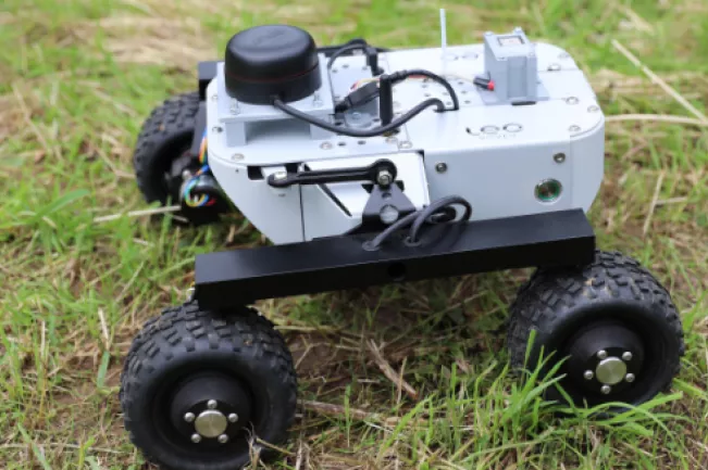
A young team of scientists from the Bonn-Rhein-Sieg University of Applied Sciences is currently researching methods based on the cooperation of drones (UAV = unmanned aerial vehicle) and robots driving on the ground (UGV = unmanned ground vehicle) in a project together with scientists from the University of Split (FESB) in Croatia. The aim is for the drone to take pictures of its surroundings and for the robot driving on the ground to derive information from this image data, which it uses to perform its task.

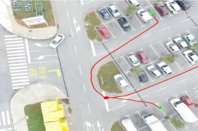
In a first use case, the cooperative use of UGV and UAV was tested for path planning in a car park. The drone takes aerial images and by means of a Deep-Neural-Network (DNN) used, the drivable areas were determined. The information obtained was then used for path planning.

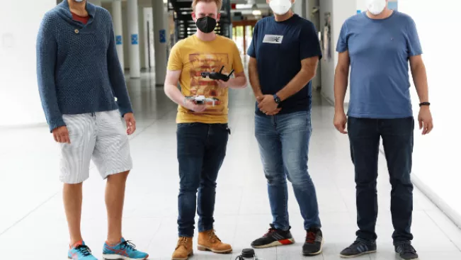
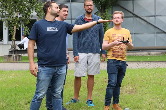
Currently, the scientists from Bonn-Rhein-Sieg University of Applied Sciences Ahmad Drak, Maximilian Johenneken and Maximilian Schöbel are researching in Croatia with the team from the University of Split on another cooperative scenario in the context of "search and find". The task is to find target objects in a predefined area. These can be located underneath trees or in an open area. The drone flies over the area and collects image information. Different methods for detecting trees based on this image information or based on height data are evaluated. Areas that are not visible from the drone (e.g. below trees) are transmitted to the unmanned robot driving on the ground. The robot visits the areas and searches for target objects. The drone's image information is also evaluated to identify target objects. In a final step, the target objects found by the unmanned drone and the unmanned robot are localised in a common coordinate system.