NAkSU - New analysis methods for complex safety and environmental data
Research project at a glance
Funding type
Period
01.11.2022 to 30.11.2024

Project Description
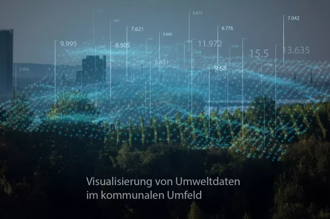
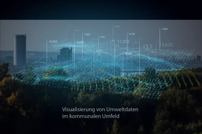
In order for this information to be used quickly and effectively, the data from qualitatively and technically different stationary or mobile sensor systems must be viewed in the context of local conditions, analysed and then processed in a user-friendly manner. Visualisation methods are useful here: They support the presentation, analysis and evaluation of the measurement data itself as well as the user-friendly processing and integration into virtual or real-image-based environments. Complex data, intelligently processed, can thus facilitate current decisions, support planning processes and objectively substantiate social and political discussions.
Project goal and general procedure
The project aims to build a flexible sensor and visualisation platform that can be used for testing, identifying future use cases and further research on the visualisation of complex sensory data. Future use cases could be, for example, new citizen science projects on a wide range of topics, improved planning processes or rapid response in the event of a disaster.
Modular multi-sensor nodes will be integrated for the collection of various environmental data (e.g. temperature, humidity, fine dust, pollutant gases), which can quickly provide additional basic information with GPS tracking. They are to be used stationary and, above all, mobile within the framework of the use case "Acquisition of environmental data in the urban environment". The evaluation and presentation of the data is carried out via parallel visualisation procedures. Due to the modular structure, suitable sensors for different purposes and performance requirements can be integrated as needed. On this basis, important user questions in risk and disaster management can be addressed and the presentation of complex scientific data, e.g. on air quality and climate change impacts, can be improved for citizens and decision-makers.

Sponsors
funded by:
Ministry of Culture and Science of the State of North Rhine-Westphalia
FKZ: 224-76.01.08-7/2022-12113
Hochschule Bonn Rhein Sieg